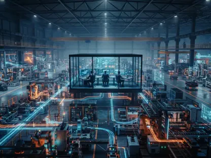

The synthesis of anonymized telematics, computer vision, and engineering expertise provides a repeatable framework for cities looking to modernize their safety protocols. For decades, urban planners relied on crash maps that documented where tragedies had already occurred, essentially waiting for blood to be spilled before justifying a new stoplight or a narrowed lane. This reactive stance is rapidly becoming obsolete as municipalities integrate high-fidelity sensor data into their daily operations. By analyzing billions of data points from connected vehicles and roadside units, officials now identify conflict zones where collisions are statistically probable but have not yet happened. This shift represents a fundamental change in municipal management, moving from a culture of crisis response to one of clinical prevention. In major metropolitan areas, the implementation of digital twins allows engineers to simulate traffic changes before any physical construction begins, ensuring that every dollar spent on infrastructure maximizes the preservation of human life across the entire grid.
Data Integration: Telematics and Computer Vision
Central to this technological revolution is the ingestion of telematics data from a wide variety of sources, including commercial fleets and consumer mobile devices. These streams provide granular details about vehicle speeds, sudden braking events, and swerving patterns that indicate a poorly designed intersection or a confusing signage layout. Instead of waiting for a police report, traffic engineers monitor these near-miss indicators in real-time, allowing for immediate tactical interventions. For instance, if a specific stretch of road shows a high frequency of hard-braking events at dusk, analysts can quickly determine if sun glare or a lack of street lighting is the culprit. This level of granularity was impossible in previous years when data collection was limited to manual counts and annual surveys. Today, the sheer volume of anonymized information creates a vivid, moving picture of urban friction, highlighting the exact moments where the interaction between pedestrians, cyclists, and motorists becomes dangerously unstable.
Complementing the telematics feed is the widespread deployment of computer vision at the network edge, where artificial intelligence processes video data directly on the camera hardware. These systems are trained to recognize specific behaviors, such as a cyclist being cut off by a turning vehicle or a pedestrian dashing across a lane because a crosswalk is too far away. By converting visual pixels into structured data, cities can quantify the risk level of an intersection without ever storing sensitive imagery that could compromise resident privacy. The machines do not see faces; they see vectors of movement and potential intersection points. This allows for the creation of a risk score for every block in a city, updated hourly as weather conditions and traffic volumes fluctuate. When the risk score exceeds a certain threshold, automated systems can adjust signal timing or deploy digital warning signs to alert drivers to the increased hazard. This synergy between physical hardware and advanced software creates a protective layer that operates autonomously to mitigate human error.
Strategic Implementation: From Modeling to Prevention
The transition to predictive modeling involves complex machine learning architectures that look for patterns across disparate datasets. These models integrate historical crash records with current weather patterns, local event schedules, and even social media sentiment regarding road conditions. By training on thousands of hours of traffic flow, the AI can predict with high accuracy when a perfect storm of conditions is likely to occur. For example, the combination of a major sporting event ending, a sudden rain shower, and a malfunctioning streetlamp can be flagged as a high-alert scenario. In response, city traffic management centers can pre-emptively reroute traffic or dispatch safety officers to the area. This predictive capability effectively extends the horizon of safety planning from years to minutes, allowing for dynamic management of the public right-of-way. It is no longer about fixing a broken system but about managing a fluid environment where the goal is constant equilibrium and the total elimination of fatalities through algorithmic oversight.
The successful adoption of data-driven safety reached a critical milestone when municipalities shifted their focus from technology acquisition to organizational integration. Leaders recognized that having the best predictive models was useless if the insights did not lead to rapid physical or operational changes. They streamlined the process for deploying temporary safety measures, such as plastic bollards or signal timing adjustments, based on weekly risk reports. Training programs were implemented to help traditional traffic engineers interpret machine learning outputs, bridging the gap between old-school civil engineering and modern data science. Strategic investments were made in edge computing infrastructure to ensure that life-saving alerts were delivered in milliseconds. Evaluation frameworks were established to measure the effectiveness of every intervention, allowing for a continuous cycle of refinement. By prioritizing transparency and community engagement, cities fostered public trust in these automated systems. Ultimately, the successful deployment of these protocols demonstrated that a proactive, data-centric approach was the most effective way to eliminate fatalities.